On a recent road trip, we went to Page, Arizona, and of course to Horseshoe Bend as well.
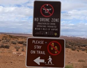
Interesting enough, the city of Page has a sign there that tries to state Federal law to make it a no drone zone. While the law is right, the usage of it is wrong. Around the Page airport is no controlled airspace and about everyone can fly there without special authorization. If this would be controlled airspace, everyone with a license could get airspace authorization as the airport is quite small and you are several miles away from the airport.
As a licensed drone pilot I hate it when a city tried to lie or apply laws wrongfully to scare people.
It is a short hike to Horseshoe Bend and while in the past you had to park on a sandy area and hike over sand dunes, they now have it wheelchair accessible and it’s quite easy to get there.
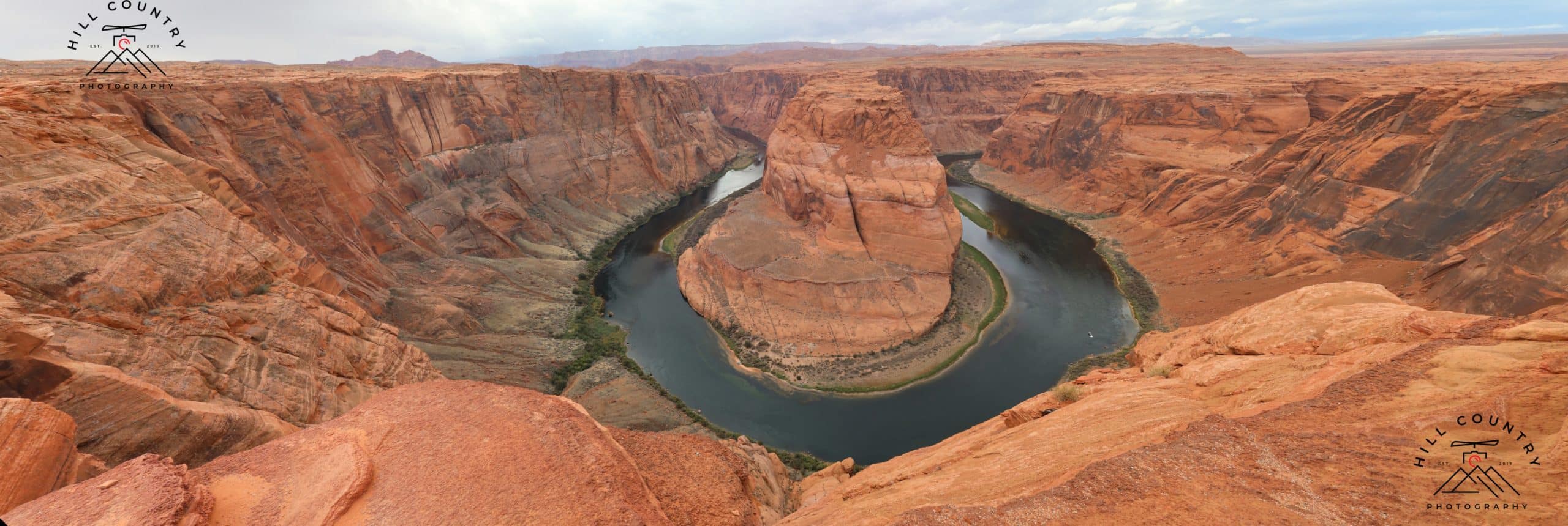
We didn’t have too much time, so I didn’t bring my full equipment with me for some high-resolution wide-angle photographs like I would like to. But even the standard camera can do great work when you know how to use it. So enjoy some great pictures of Horseshoe Bend including a high-res wide-angle picture made out of 12 individual pictures.
If you are wondering if this is a hard hike. It is an easy hike but I would bring water with me as it can get hot in the summertime.
There are also drops to the ground, so take care when you are sitting at the edge. People fall down and die every single year and every time someone died there, they are more inclined to add more guardrails to this location.
